Log in
All resources
Create a design
34,645 Free Images of 1650 Maps
maps made in the 17th century
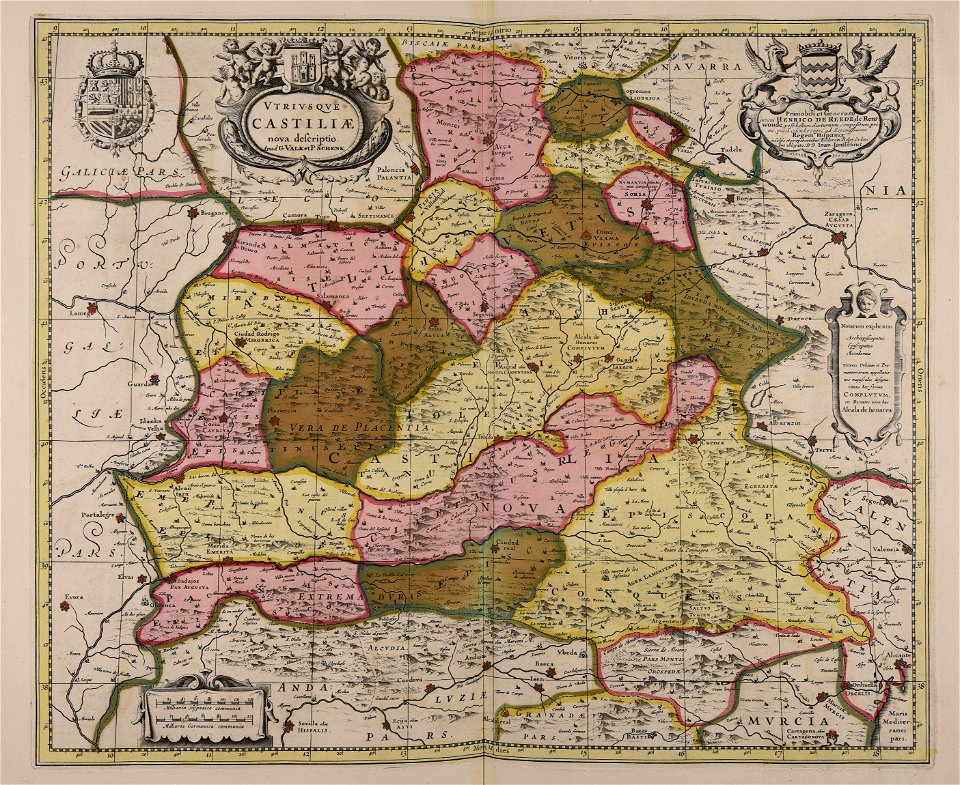
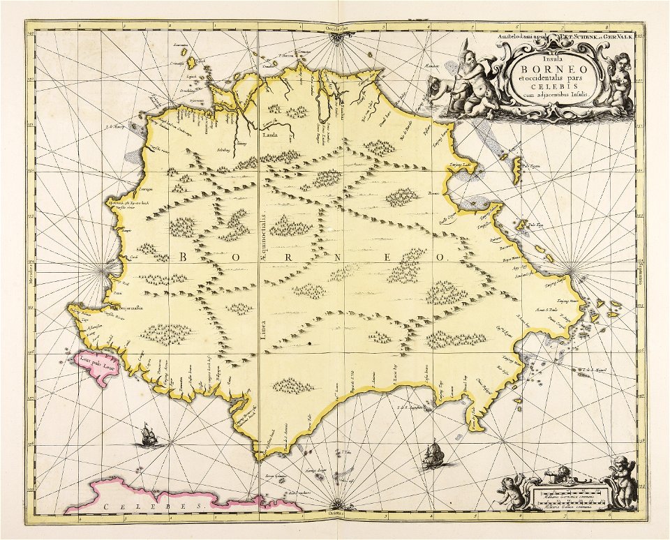
maps by pieter schenk (i)
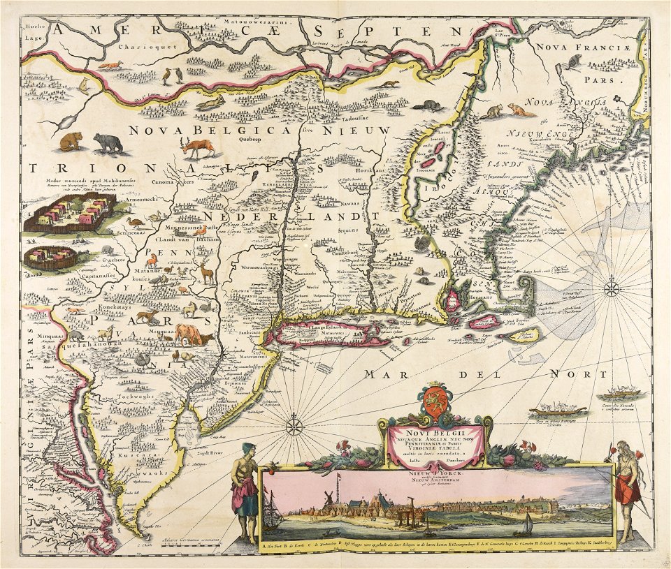
new york
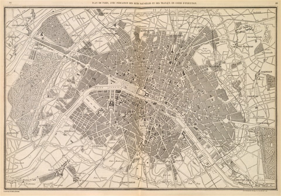
maps in the library of congress
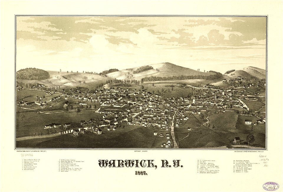
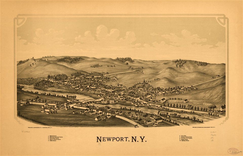
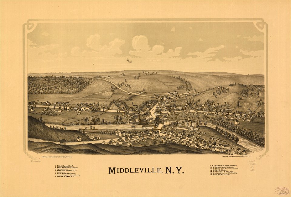
l. r. burleigh
atlantis magni tomus tertius (biblioteca comunale di trento)
1601-1650 paintings
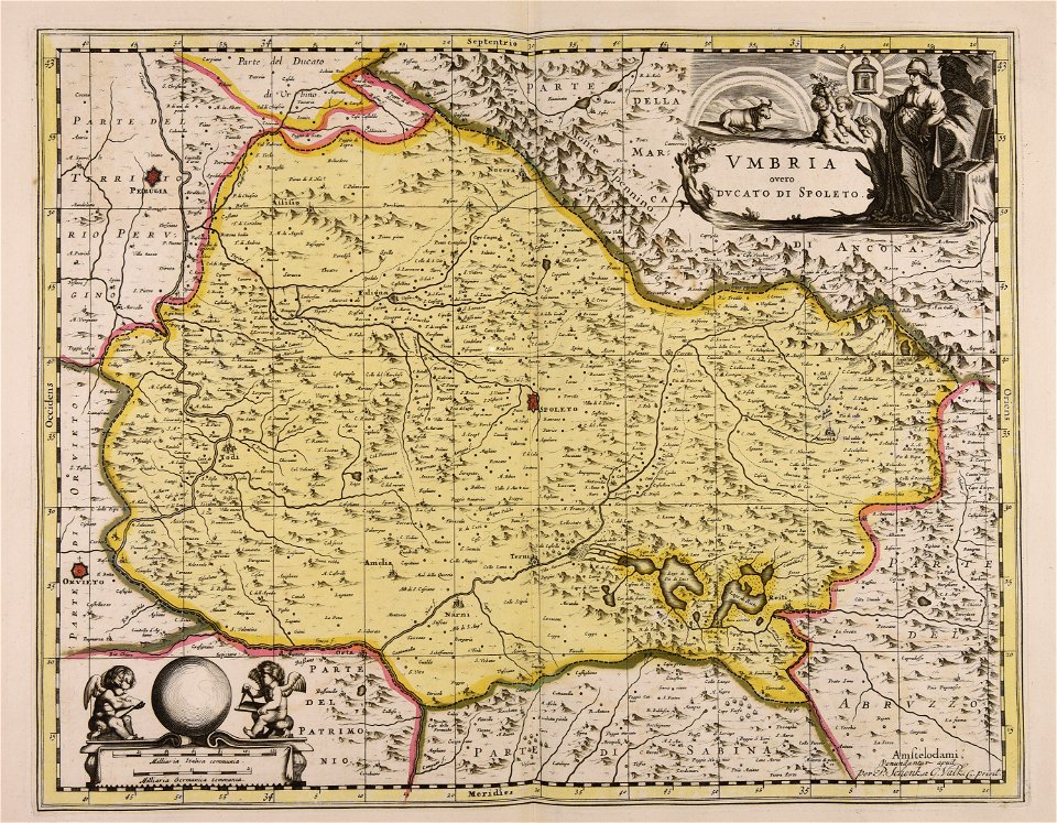
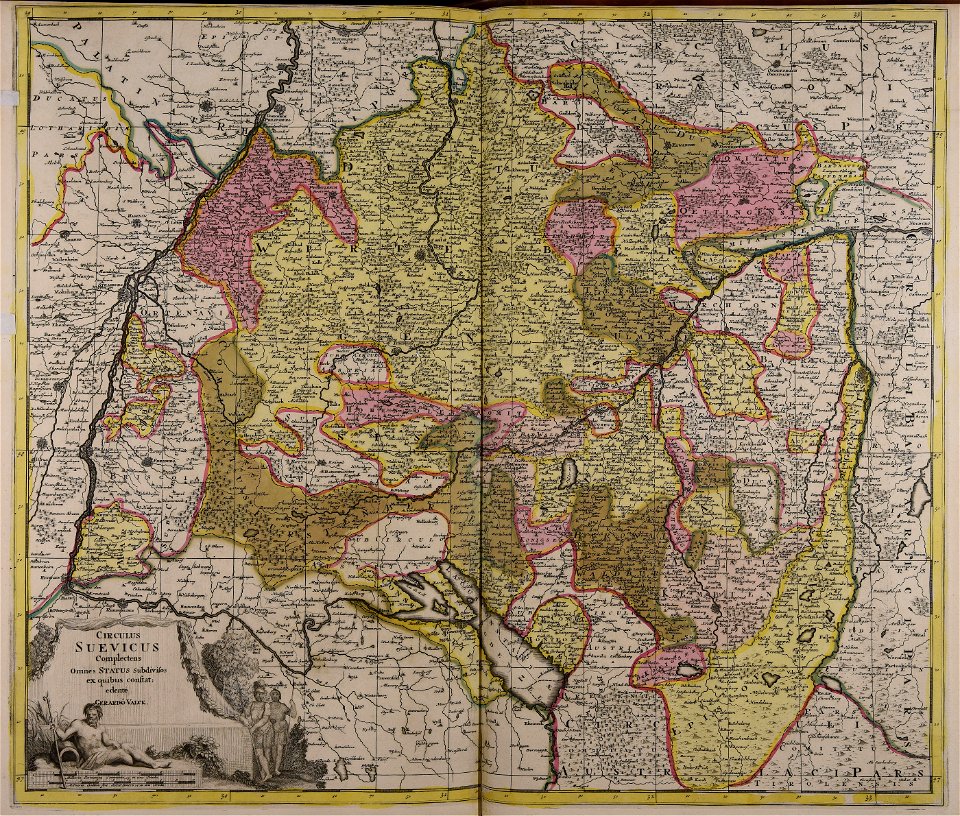
gerard valck
town maps by l. r. burleigh
fonds ancely - bibliothèque municipale de toulouse - maps
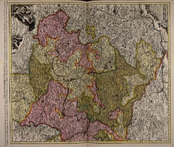
maps made in the 17th century
maps by pieter schenk (i)
johann baptist homann
latin-language maps
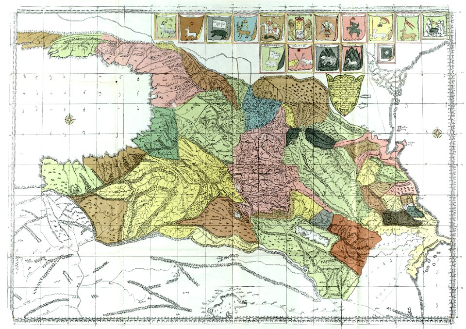
hatched coats of arms
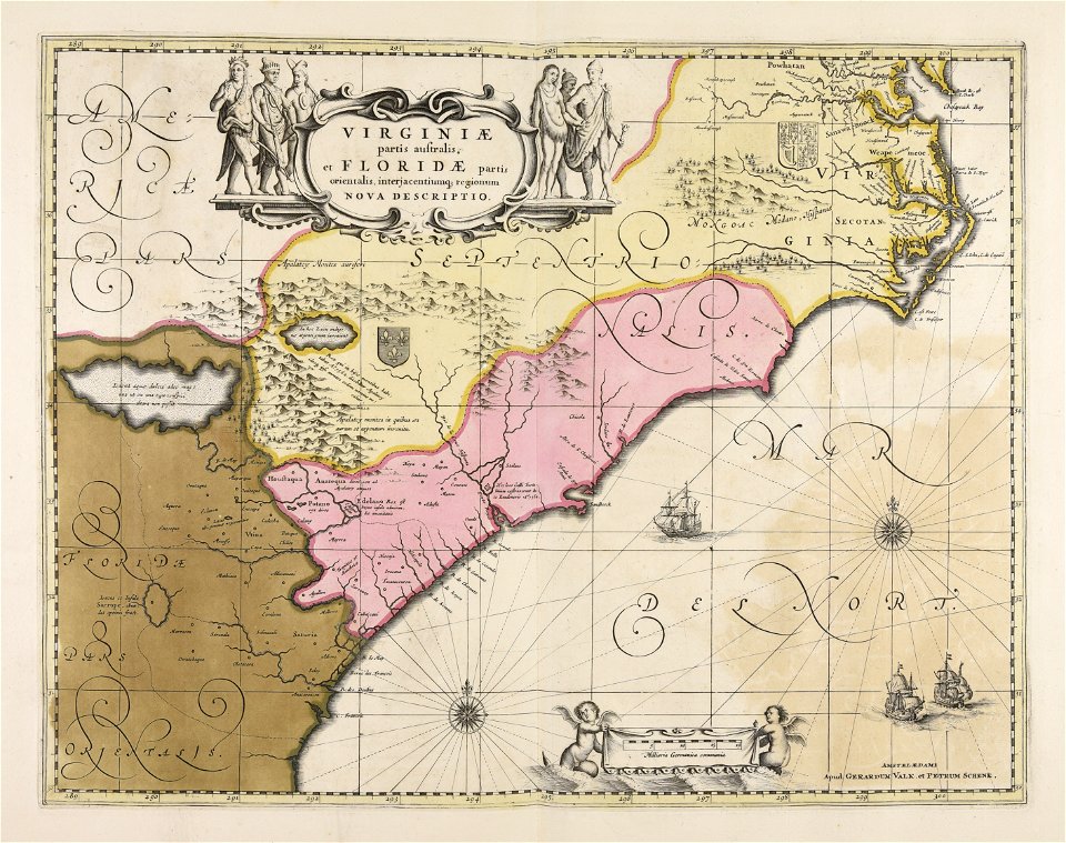
atlantic ocean
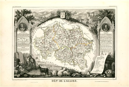
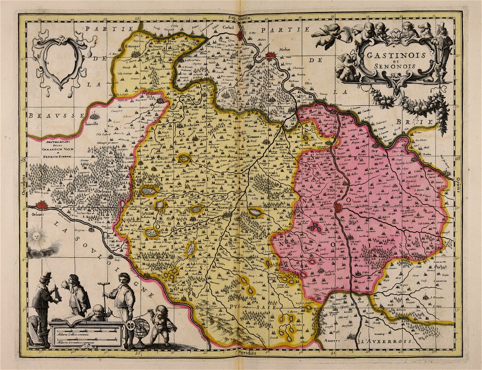
fonds ancely - bibliothèque municipale de toulouse - maps
coats of arms of cities in allier
fonds ancely - bibliothèque municipale de toulouse - maps
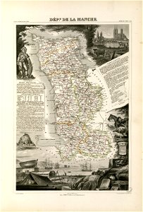
coats of arms of cities in manche
coats of arms of cities in eure
old maps of eure
fonds ancely - bibliothèque municipale de toulouse - maps
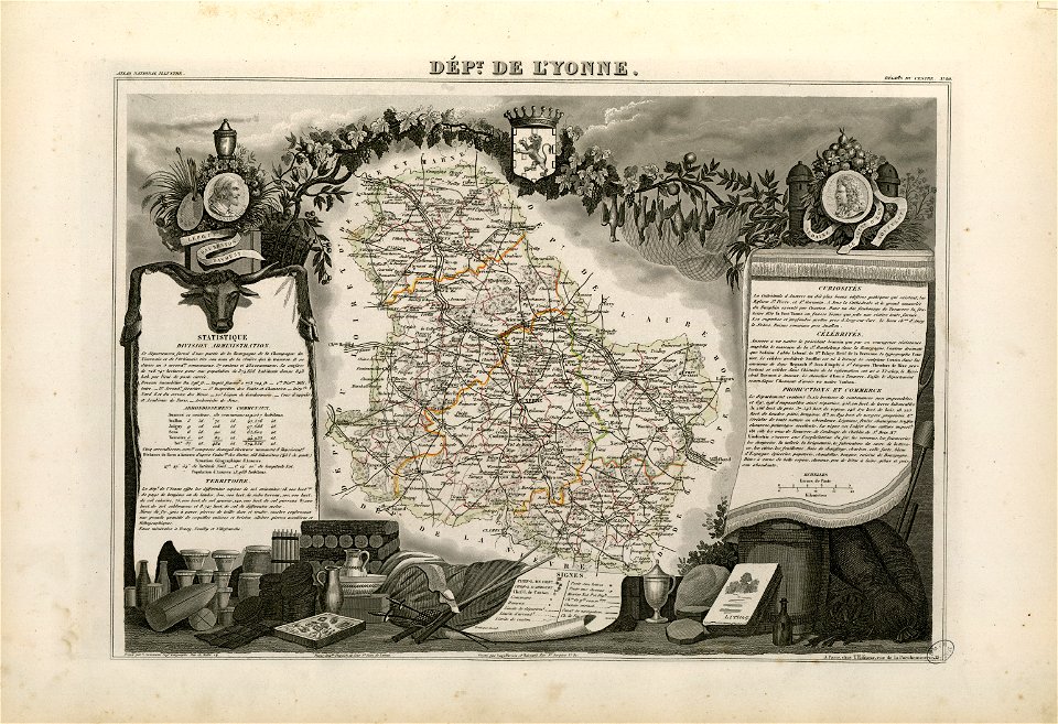
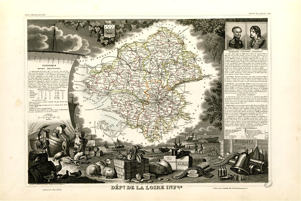
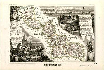
victor levasseur - maps of france
old maps of algeria
bodleian library
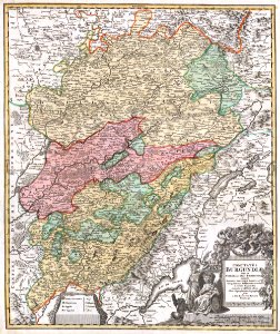
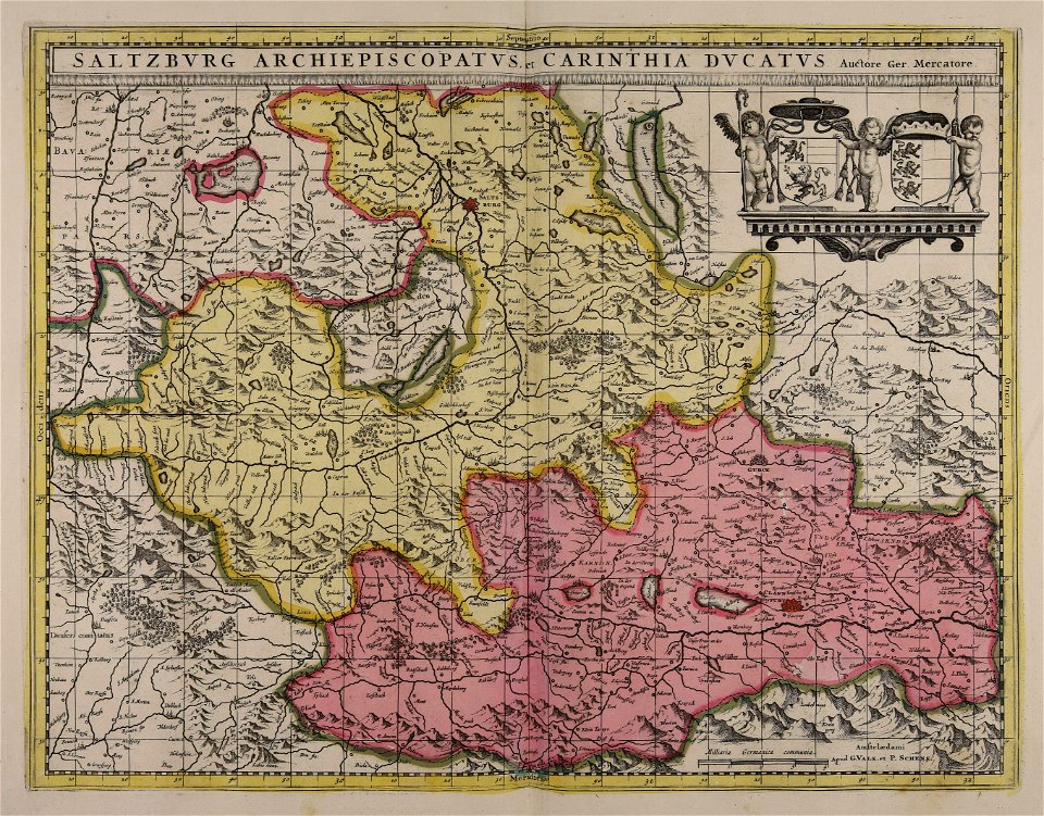
maps made in the 17th century
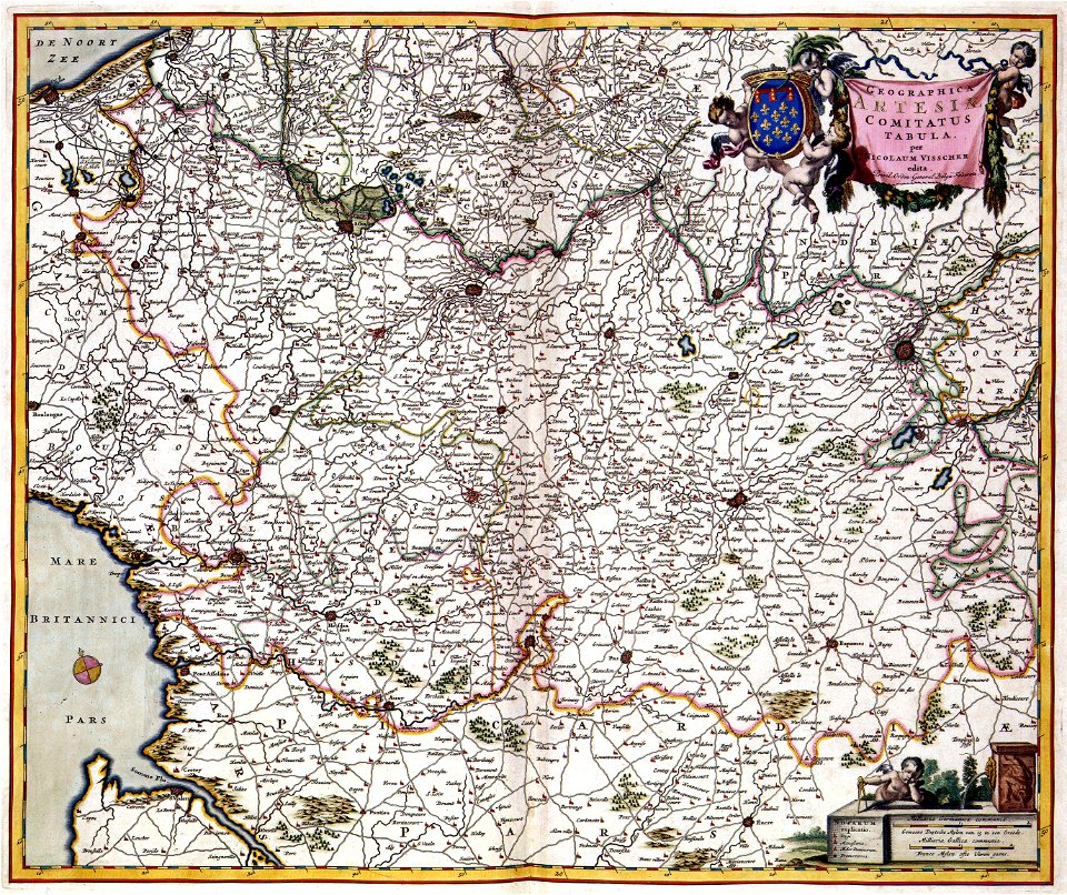
maps by nicolaes visscher i
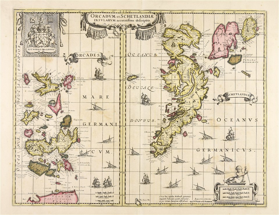
maps made in the 17th century
maps by nicolaes visscher i
maps made in the 17th century
maps by nicolaes visscher i
maps made in the 17th century
maps by nicolaes visscher i
old maps of the carolingian empire
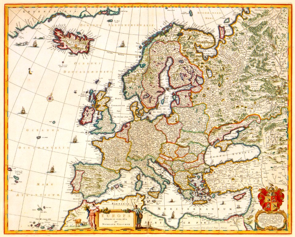
old maps of europe
maps by nicolaes visscher i
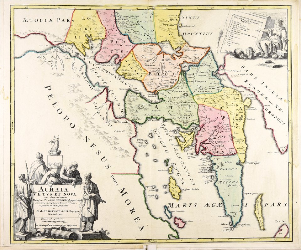
old maps of greece
maps made in the 17th century
old maps of gelderland
atlantis magni tomus quintus (biblioteca comunale di trento)
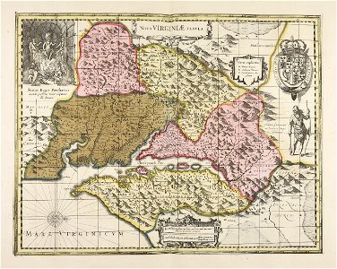
maps made in the 18th century
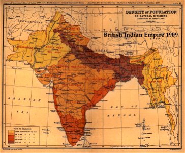
old maps of the indian subcontinent
1909 maps of india
fonds ancely - bibliothèque municipale de toulouse - maps
robert batty (artist)
burg meersburg
pencil drawing
the northern hemisphere of the celestial globe by albrecht dürer
old celestial maps
maps made in the 18th century
old maps of iran
maps made in the 18th century
old maps of saxony
files from the bodleian libraries
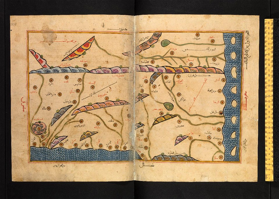
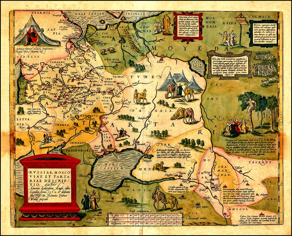
maps of tartary
maps of kamianets-podilskyi
nicolas de fer
1760s etchings
1760 maps
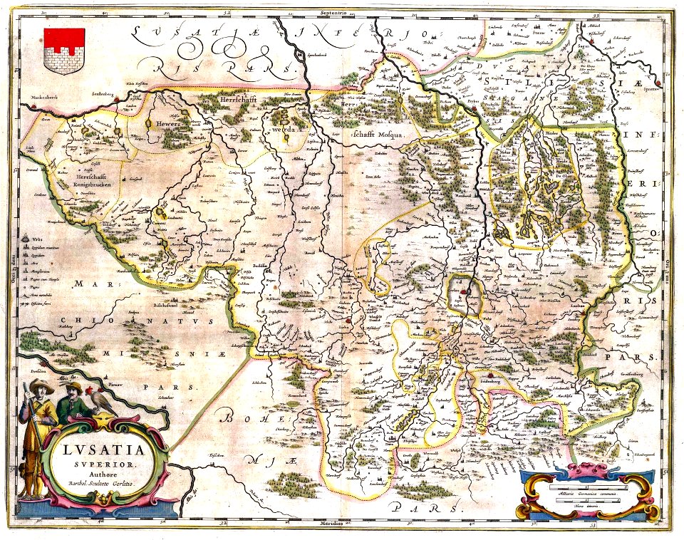
upper lusatia
kwisa
johannes kip
1732 maps
images from the new york public library
old maps of the tsardom of russia
maps made in the 18th century
old maps of flanders
copper engraving
beavers in art
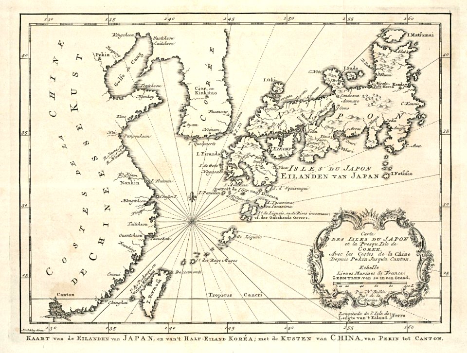
maps of the dutch east india company - japan
1747)
maps made in the 17th century
gerard valck
maps made in the 17th century
gerard valck
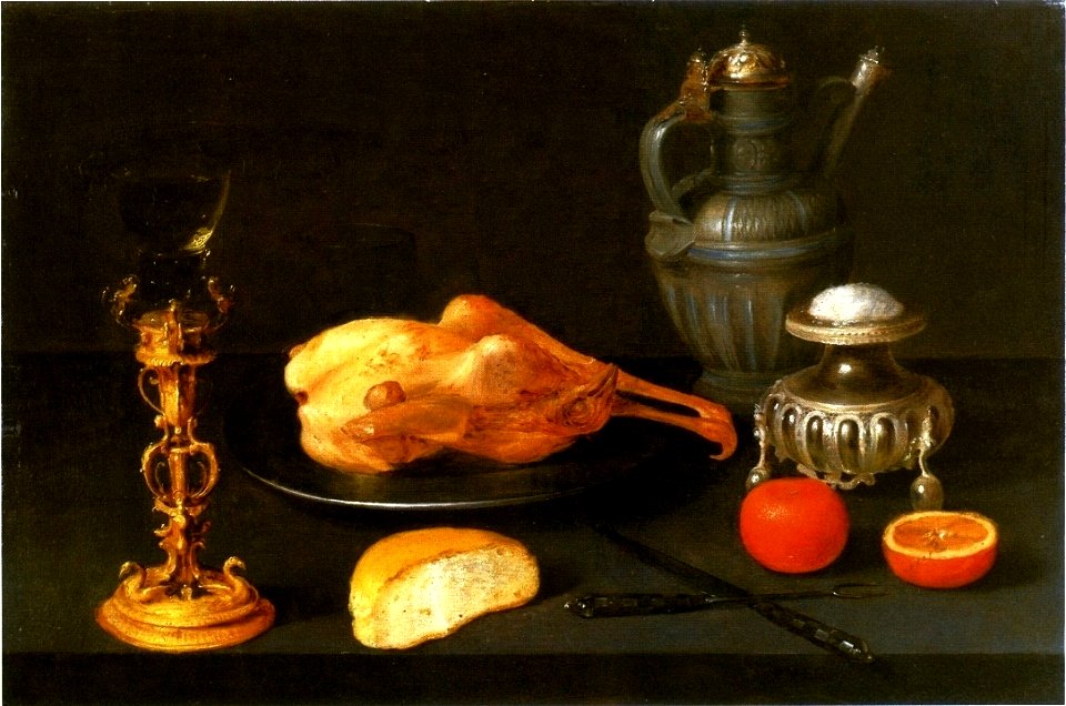
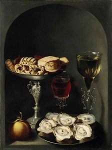
1601-1650 paintings
salt cellar
17th-century still-life paintings of flowers in glass vases
berlin
1650s still-life paintings
1650 paintings
17th-century oil on panel paintings in belgium
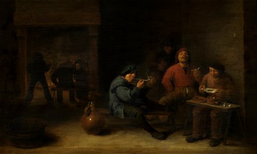
smokers by adriaen brouwer
1600–1650 in western european fashion
mothers and sons in art
17th-century religious paintings in belgium
antwerp
people with fire in art
crocodiles in art
list of french people of immigrant origin
aglets in art
religious paintings by sébastien bourdon
1650 paintings
1650 paintings
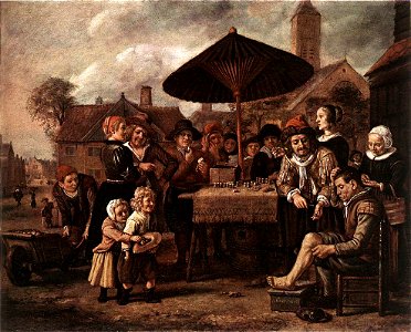
bowling in art
17th-century pendant portrait paintings of wedded couples
17th-century portraits with coat of arms
wine glass
sweetmeats
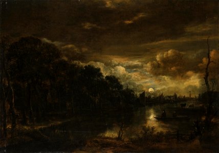
moonlight in paintings
1601-1650 paintings
17th-century oil on canvas paintings in the netherlands
17th-century religious paintings in the netherlands
1650 paintings
budapest
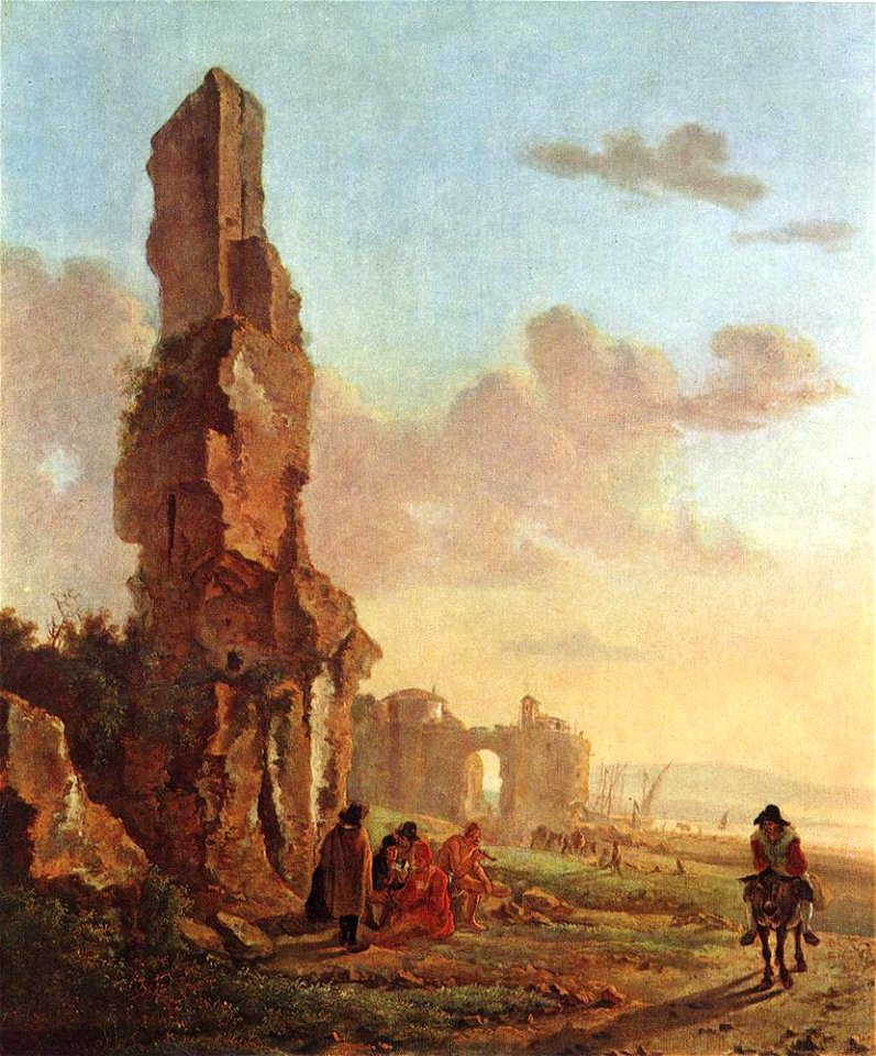
19th-century paintings of ruins
budapest
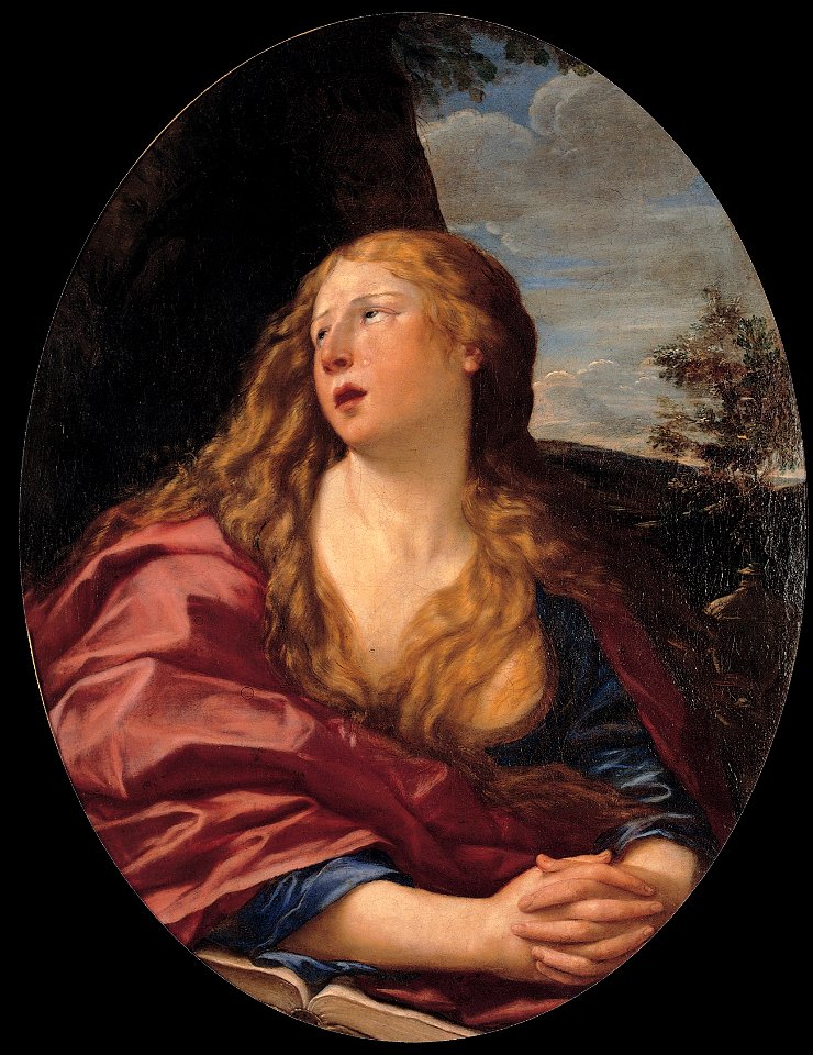
17th-century paintings of mary magdalene
female long hair in art
17th-century paintings of animals
1601-1650 paintings
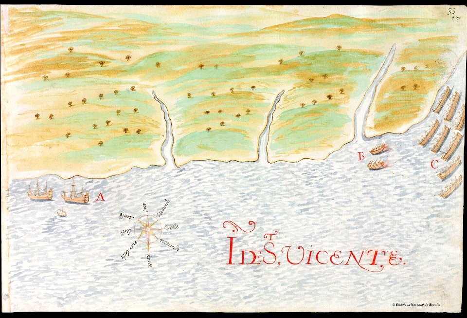
history of saint vincent and the grenadines
pictorial maps
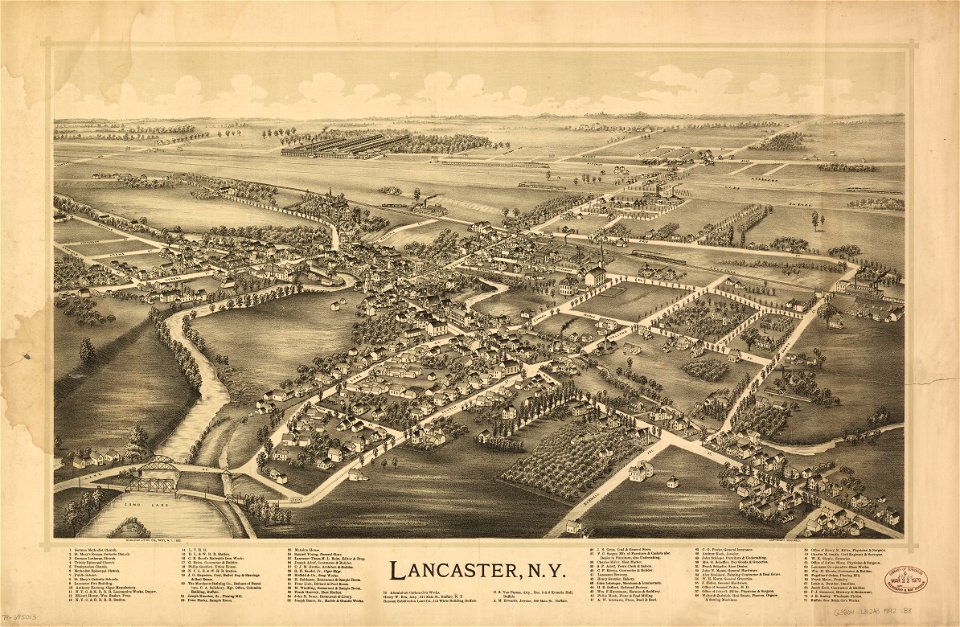
erie county
new york
maps from the mechanical curator collection
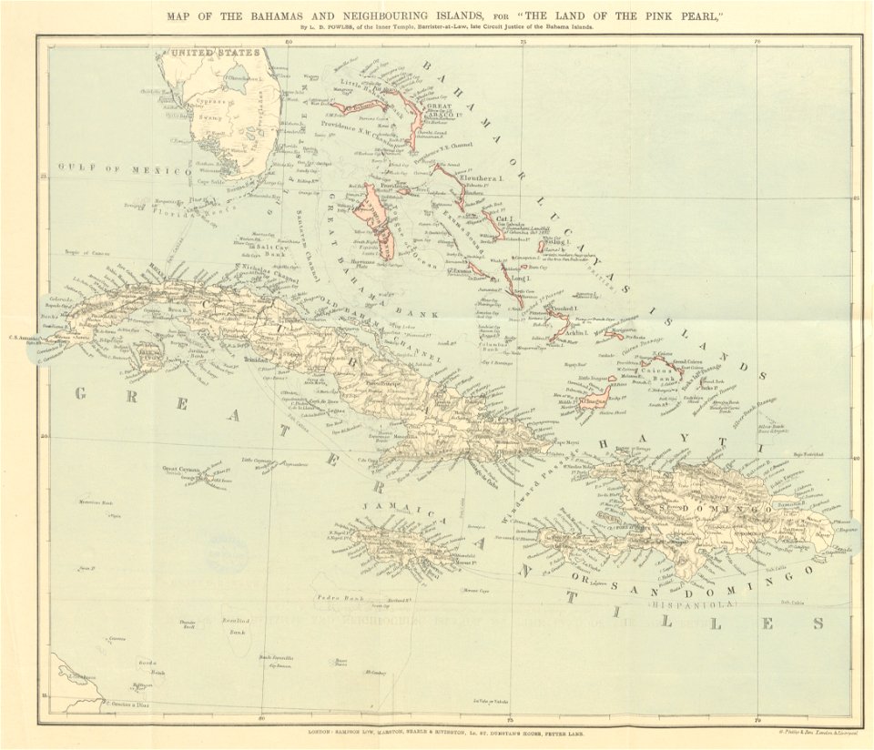
the land of the pink pearl
erie county
new york
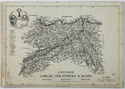
historical images of solothurn
carl durheim
maps from the mechanical curator collection
william peel (royal navy officer)
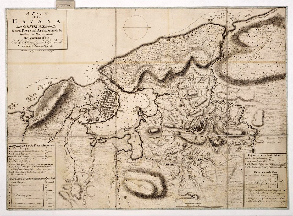
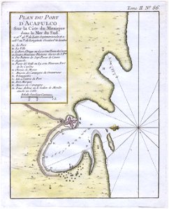
morro castle (havana)
london
atlas van der hagen (volume 3)
maps with cartouches
prints from dankaerts historis at the peace palace library
hendrik hondius (i)
l'illustration
1853
maps made in the 17th century
gerard valck
new york
warwick
maps made in the 17th century
gerard valck
new york
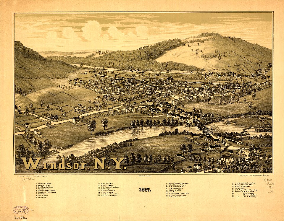
windsor
maps made in the 17th century
gerard valck
new york
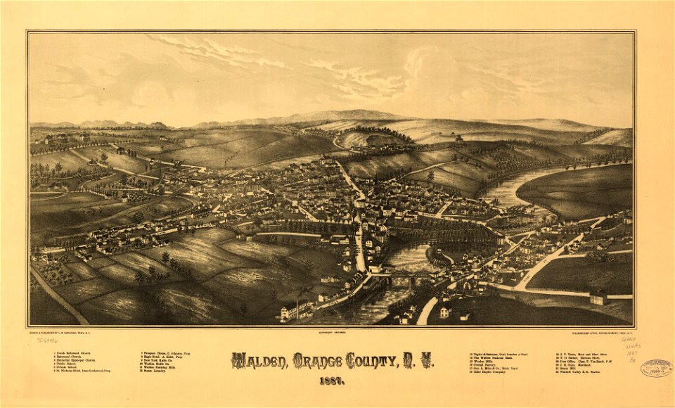
walden
maps made in the 17th century
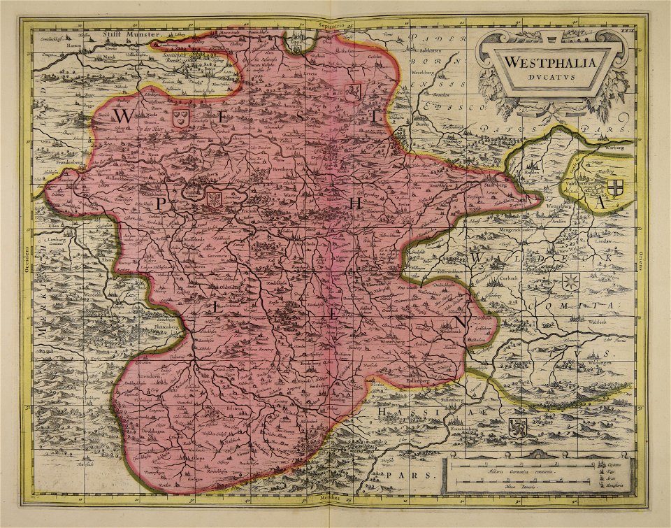
old maps of westphalia
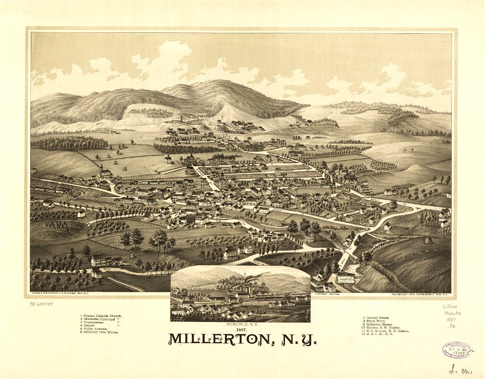
old maps of new york (state)
new york
new york
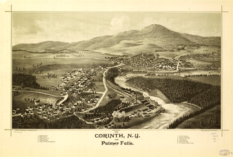
corinth
johann baptist homann
old maps of greece
maps with cartouches
copper engraving
maps with cartouches
old maps of france
atlas van der hagen (volume 4)
maps with cartouches
maps by nicolaes visscher i
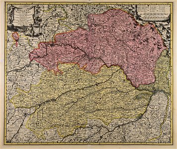
old maps of upper austria
new york
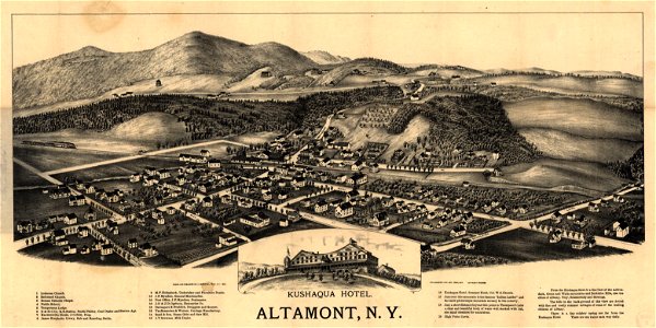
altamont
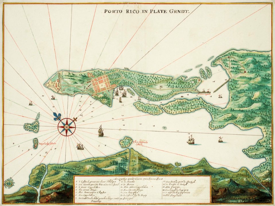
puerto rico
1665
maps made in the 18th century
gerard valck
maps by frederick de wit
maps with cartouches
zhangye
lanzhou
fonds ancely - bibliothèque municipale de toulouse - maps
frédéric-auguste laguillermie
fonds ancely - bibliothèque municipale de toulouse - maps
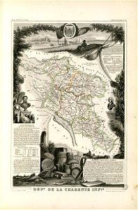
victor levasseur - maps of france
fonds ancely - bibliothèque municipale de toulouse - maps
jean bart
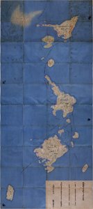
important cultural property of japan in tokyo
maps in the national archives of japan
maps by jacques-nicolas bellin
jacques-nicolas bellin
atlantis magni tomus primus (biblioteca comunale di trento)
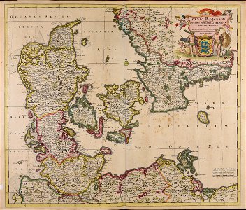
17th-century maps of schleswig-holstein
new york
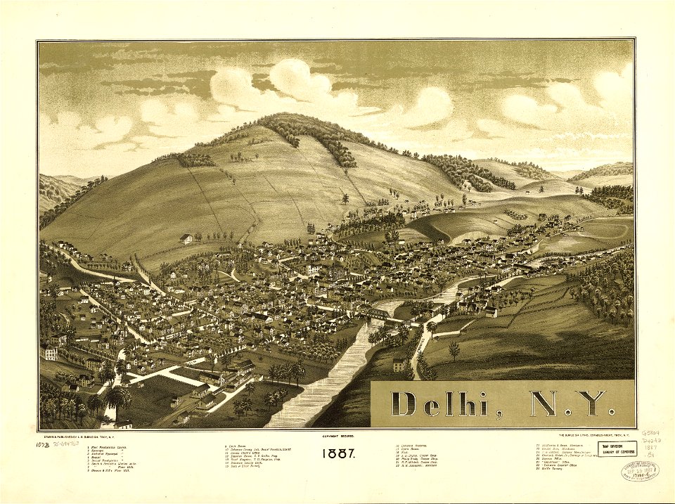
delhi
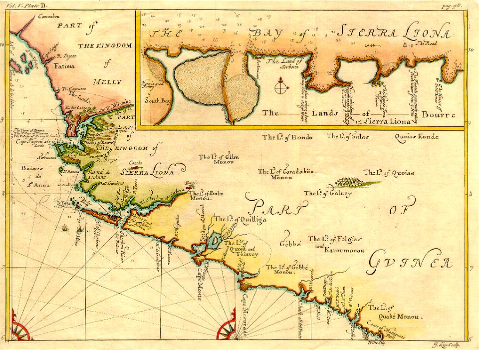
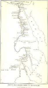
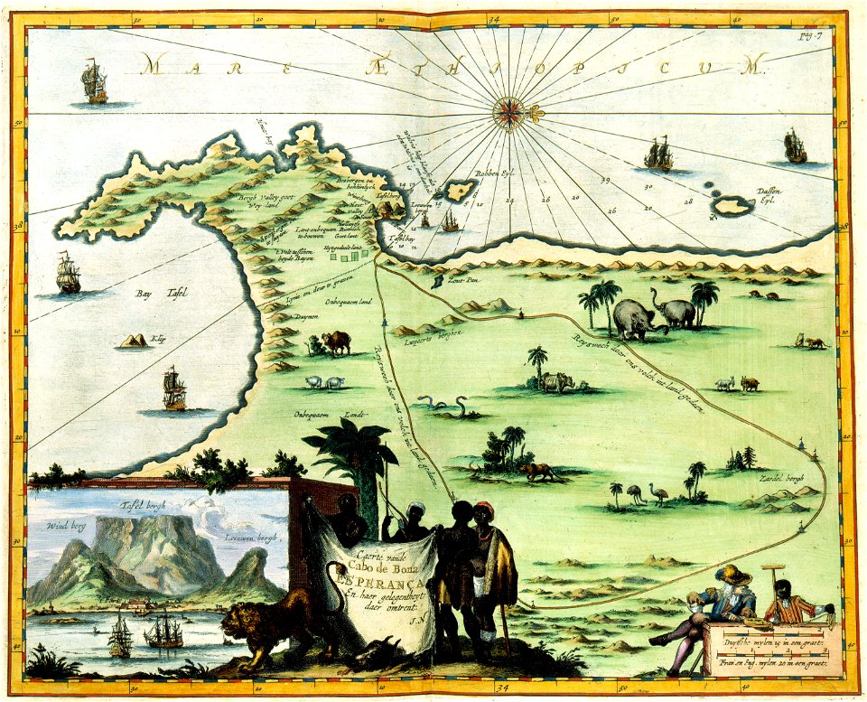
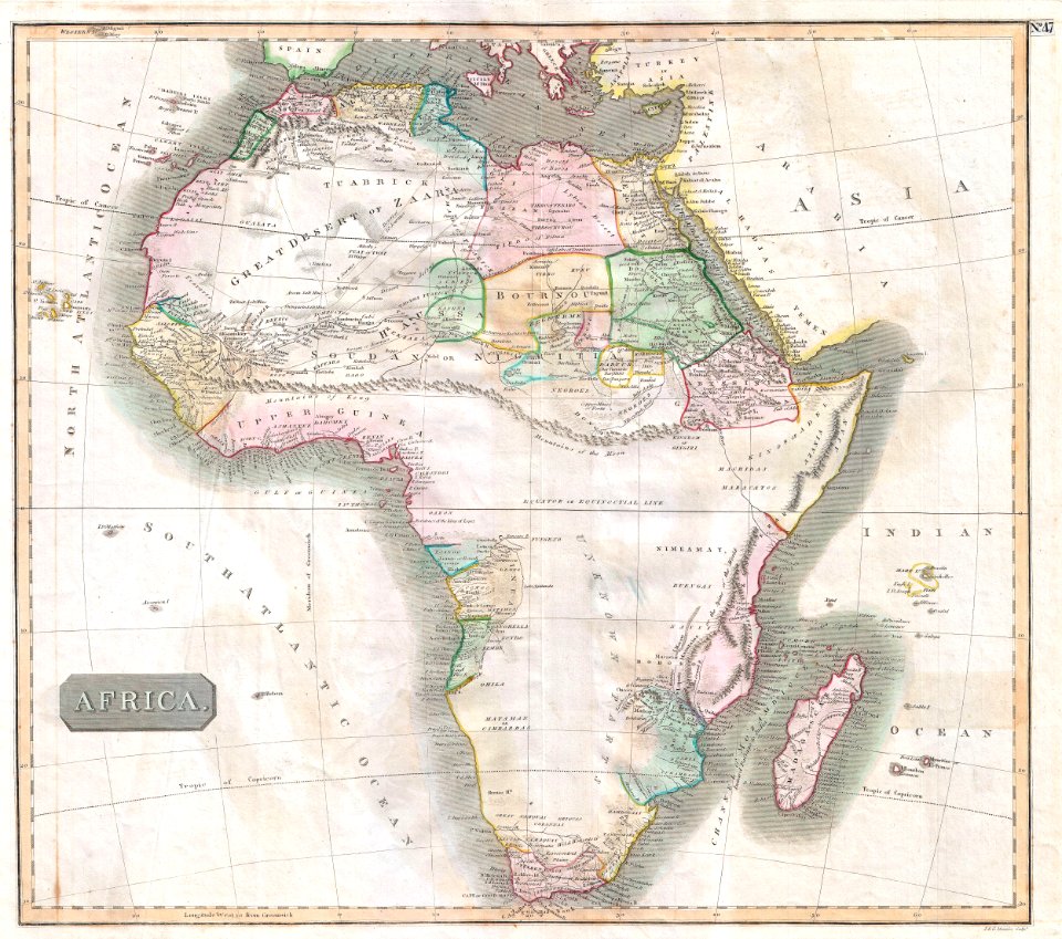
european exploration of africa
maps by john thomson
maps in the library of congress
new york
maps made in the 17th century
gerard valck
description of kingdom of georgia
its habits and canons
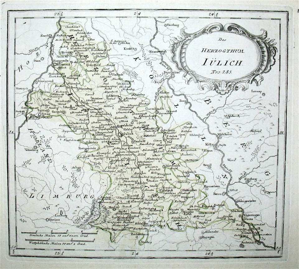
old maps of north rhine-westphalia
netherlands
maps made in the 17th century
maps by pieter schenk (i)
old maps of new york (state)
new york
hand-drawn maps and views of world war i battlefields by h.m.
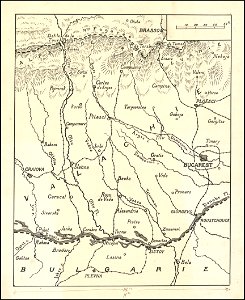
old maps of wallachia
maps made in the 17th century
gerard valck
new york
newport
maps in the library of congress
new york
maps made in the 17th century
gerard valck
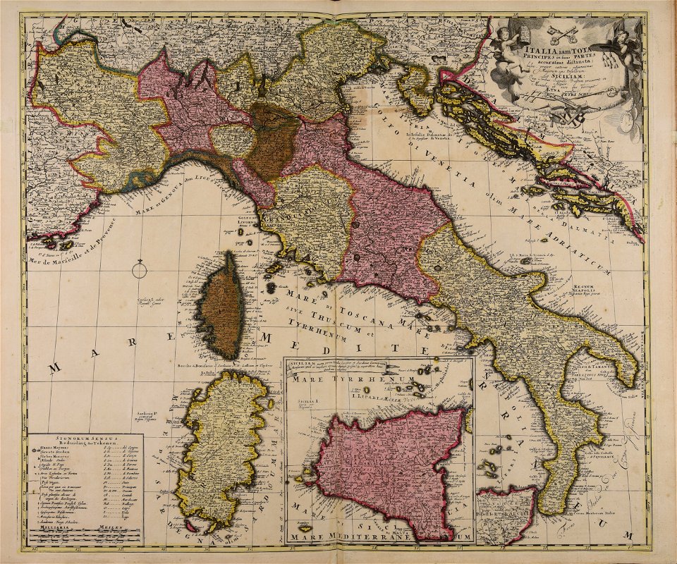
maps made in the 18th century
18th-century maps of italy
4401 - 4500 of 34,645
Next page
/ 347